
Trace a Hamilton Township Street
Begin with the location, not a name. The Hamilton Township Assessor maintains property record cards and the tax map, and its assessment link points to TaxDataHub. For a street segment, the Atlantic County GIS office provides parcel and road-reference material. Those sources establish a parcel research trail. They do not establish a current household list.
- Write the address exactly as it appears, including the number, street suffix, directional word, and postal label.
- Check the county roadway map and GIS material to place the road segment, then compare the location with the tax-map or assessment record when available.
- Record the block-lot-qualifier, or B-L-Q, if a county map or assessment source provides it. It is the local parcel identifier used to connect map and sales material.
- Use the B-L-Q, owner name, or address clue to search the Atlantic County Clerk index for deeds, mortgages, releases, and linked instruments.
- For an older address, compare the deed description with a dated map or local archive source before treating a similar street name as the same place.
The first pass is a location check. The next pass is a record check. A county map can make it easier to find the right segment, but its address ranges are not delivery data, legal boundaries, or a survey.
| Address-keyed source | Hamilton use | Custodian or route | Important limit |
|---|---|---|---|
| Assessment and property record card | Assessment snapshot, tax-map reference, owner and parcel facts when provided | Hamilton Township Assessor and linked assessment service | Assessment data is not a certified title record. |
| County tax maps and GIS | Parcels, roads, address ranges, aerial and public-reference layers | Atlantic County GIS and tax-map archive | GIS is demonstration/reference data, not survey-grade proof. |
| Recorded instruments | Deeds, mortgages, assignments, satisfactions, and prior-record links | Atlantic County Clerk online search | Each instrument needs its own date and party review. |
| Permits and code material | Work, land-use, and maintenance records requested for a known address | Construction, Planning/Zoning, Code Enforcement, or the proper OPRA custodian | No public online permit or code-case index was located. |
A recorded owner, assessor owner, tax recipient, mailing address, and situs address may not match. A situs address is the physical property location. Keep those fields separate while following a Hamilton Township street directory trail.
Map Hamilton Township Street Ranges
The official Hamilton roadway map shows address ranges, the municipal boundary, road jurisdiction, railroad, streams, and water. It also labels places including Mays Landing, McKee City, Mizpah, Lake Lenape, Gaskill Park, and Cologne Avenue. That makes it useful for deciding whether a street reference belongs in the township record set or may lead to a neighboring jurisdiction.
Hamilton borders or sits near records for Galloway, Egg Harbor, Weymouth, Buena Vista, and Hammonton. Follow the county boundary and road layer before treating an adjacent address as Hamilton. The research did not establish a legal annexation history or official renumbering schedule. An address range is a discovery aid, not legal proof of a lot line, municipal jurisdiction, or postal delivery assignment.
Check Hamilton Township Assessment Records
The township assessor states that assessments are dated as of October 1 of the prior year, notices issue by February 1, and appeals are due April 1. The office maintains property record cards and the tax map, while assessment and taxability are different from tax billing and title. Veteran, senior, disabled, farmland, and other exemptions can also affect how an assessed amount relates to a bill.
The capture from TaxDataHub documents the linked assessment-search landing state. The accessible research did not reveal the live search controls, available filters, result columns, date stamp, export controls, or login and payment behavior.
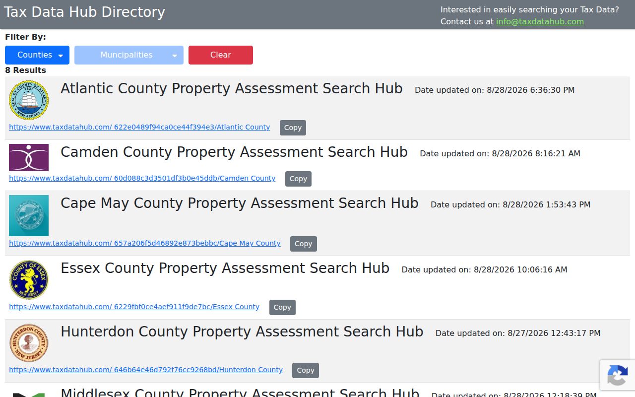
Use the captured landing screen only as evidence of the linked destination. It does not support claims about a live address, owner, B-L-Q, or ZIP search field, so a street directory search should not assume those controls are available.
| TaxDataHub search-field status | What the research supports | What remains unverified |
|---|---|---|
| Official link | The Hamilton assessor page directs users to TaxDataHub for assessment records. | The linked service's current interface was not fully captured. |
| Maintained local records | The Assessor maintains property record cards, the tax map, and correct-owner information. | Those record facts do not identify the service's search fields or output columns. |
| Search controls | No accessible official source listed a live field inventory. | Do not assume address, owner, B-L-Q, ZIP, export, fee, or sign-in options. |
When a direct lookup does not reveal enough, use the assessor contact at 6101 13th Street, Room 203, Mays Landing, or call 609-625-1671 during the published Monday through Friday, 8:30 to 4:30 office hours. A parcel card or assessment record should still be compared with the deed chain for title questions.
Follow Hamilton Township Deeds
For ownership history along a street, the Atlantic County Clerk recorded-document search is the stronger chain-of-title route. The Clerk search covers recorded instruments such as deeds and mortgages. Official instructions say modern images begin March 1, 2000, while older books have been scanned or back-scanned with availability varying by book and document.
The search instructions advise checking grantor and grantee sides, spelling variants, document type, date, book and page, file number, and linked documents. A grantor transfers an interest; a grantee receives it. Linked records can reveal assignments, satisfactions, and related mortgages, but the first instrument returned should never be treated as a final answer about current title.
The Clerk search screen captured for this project shows the public record-search entry point and the available basic or advanced route.
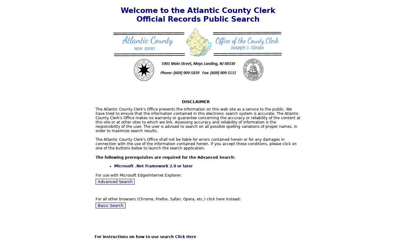
The screen supports a document-index workflow, not a current-occupancy conclusion. Note both the recording date and deed date when present, then compare the legal description and B-L-Q with the tax map.
| Clerk field or option | Use for a street research trail |
|---|---|
| Party Name and optional More Names | Search a recorded party and spelling variants; the portal uses name-beginning wildcard behavior. |
| Second Party Name | Narrows the search to instruments containing both named parties. |
| Document Type and Group | Limits the record class when a deed, mortgage, or another instrument is known. |
| Date Range and quick links | Constrains an instrument search by date, including recent or full-year options described in the guide. |
| Book and Page | Follows a cited prior record through its book and page reference. |
| Clerk's File Number and number range | Finds a document when a filing identifier is known. |
| Include Linked Documents | Brings related record chains into the review. |
Request Hamilton Township Street Permits
Hamilton construction records do not have a public street-search index in the research. Start with the responsible office instead of guessing at a portal. Construction permits are required for construction, enlargement, repair, renovation, alteration, reconstruction, demolition, and changes of use under the Uniform Construction Code. Planning/Zoning administers Chapter 203 and Pinelands-consistent land-use review, and most construction also needs zoning approval.
For a known property, contact Construction at 609-625-1591, Planning/Zoning at 609-625-0368, or use the relevant municipal custodian. Code Enforcement uses the 2009 International Property Maintenance Code and receives complaints through Planning/Zoning during business hours or by phone. Inspections may be scheduled in person or by fax. The construction page specifically says telephone inspection requests are not accepted.
If the office cannot provide a record directly, send a focused written request through the Township Clerk or the appropriate custodian under New Jersey's Open Public Records Act. Identify the street, time period, record type, and delivery preference. There is no research support for a public online permit, inspection, violation, fee, or certificate-of-occupancy lookup, so those items should not be assumed.
Use Hamilton Township Street Clues
Older Mays Landing references often need a map comparison before they can be connected to a present parcel. Confirmed resources include 1891 Mays Landing map entries, the 1896 May's Landing Sanborn set, National Park Service material that refers to 1906 Sanborn evidence, and a 1948 Rutgers/BTAA municipal fire-insurance map. Compare a street, river, rail line, courthouse, mill, schoolhouse, or lot footprint with a current tax map and recorded instrument.
Those maps help explain a historical street setting. They do not prove title, a current use, a person at the address, or a modern boundary. A street directory search that uses an old map still needs a current parcel and deed comparison. The documented Mays Landing Historic District has a separate historic-district context that should not be confused with the township boundary. The research also did not confirm a complete authoritative 1931 Sanborn source, so that year should not be added to a Hamilton street search as a verified collection.
Normalize Hamilton Township Street Names
Keep the original address string, then make a separate normalized search version. Search both Mays Landing and Hamilton Township or Hamilton Twp when a source uses a postal or civic variation. Retain street suffixes and directional words. For municipal records, 6101 13th Street and 6101 Thirteenth Street are both supported spellings, which makes 13th and Thirteenth a practical pair to check.
Route names and old road forms also deserve a second pass in the Clerk index and historic maps. The research found no official street-renumbering or annexation schedule for Hamilton. A different spelling or postal label can be a useful lead, but it cannot by itself prove that two numbered addresses are the same parcel.
Read Hamilton Township Street Records
Street research uses several terms that are easy to mix up. Keep the location field, tax field, and recorded document field in their own lanes. That approach reduces false matches when a property owner receives mail elsewhere or when a historic source uses a former road name.
- Parcel
- A defined unit of land used in tax-map and assessment work. It is not the same thing as a postal address.
- Situs address
- The physical location of the property. It can differ from the owner's mailing address.
- B-L-Q
- Block, lot, and qualifier, the parcel key used in Atlantic County tax and sales material.
- Recorded instrument
- A document entered by the Clerk, such as a deed, mortgage, assignment, or satisfaction.
The county usable-sales material offers a field demonstration for 119 Keller Way, including B-L-Q 997_60, a sale price, assessed value, deed date, class, acreage, finished area, and year built. It is not a full parcel card, a certified record, or evidence of the current owner.
Keep Hamilton Township Street Research Safe
A street record can associate a parcel, recorded party, or administrative event with an address. It does not safely identify every person connected to that place. New Jersey protections may limit or suppress address information for covered people, and the Address Confidentiality Program uses a substitute mailing address for eligible participants. Motor-vehicle personal information is also restricted.
If a record is unavailable, do not try to fill the gap with assumptions. Ask the correct custodian for the record class, preserve the record date, and respect redactions or substitute-address rules. A missing online result may reflect a privacy limit, an indexing delay, a different custodian, or a record that was never placed in a public index.
Set Hamilton Township Street Boundaries
A Hamilton Township street directory is strongest when it distinguishes a parcel search from a resident claim. Address ranges point to a segment. GIS and tax maps help reconcile the parcel. Clerk instruments provide a dated document chain. None of those sources establish the present occupants of a home, and a tax mailing address outside the township can still be associated with a Hamilton situs.
Postal labels need the same restraint. Mays Landing and 08330 are the high-confidence civic label, while Mizpah and 08342 require address-level USPS verification. Nearby Cologne and Dorothy labels were not confirmed as Hamilton assignments in the research. Use the USPS ZIP lookup for delivery routing, not the roadway map or a parcel layer.