
Hamilton Township Neighbors by Block
For Hamilton Township neighbors, the first useful question is often geographic: which parcels and road segments surround a stated address? Atlantic County offers static maps, an interactive GIS route, tax and GIS links, address and geography layers, and an accuracy disclaimer. The Hamilton Township Assessor maintains property-record-card and tax-map responsibilities. These are different sources with different dates and purposes. A map can help find the next parcel to inspect, but the map alone is not a survey, a legal boundary decision, or a roster of people who live nearby.
| Official source | What it shows about a block | How to use it |
|---|---|---|
| Atlantic County GIS | Hamilton Township map viewer, downloads, address and geography layers, and tax/GIS pathways. | Use as a reference layer and read the accuracy disclaimer. |
| Hamilton Township Assessor | Assessment work, property record cards, tax maps, and owner-maintenance context. | Separate owner, situs, mailing, and assessment fields. |
| County roadway map | Hamilton Township address ranges, municipal boundary, roads, water, rail, and route classes. | Use to locate a street segment, not as delivery or parcel proof. |
| New Jersey voter status route | Hamilton Township registration status after exact identifying inputs. | Use only through the state workflow and its legal limits. |
| Local history and plan sources | Historic district, facilities, former corridors, and place context. | Do not turn community context into a membership list. |
Hamilton Township property data may identify a recorded owner or mailing address associated with a parcel, not every occupant. A deed party can be historical. A tax recipient can differ from the title holder. A nearby address can use a postal label that is not the same as the township boundary. These distinctions keep a search for Hamilton Township neighbors rooted in what each public record actually says.
Mapping Hamilton Township Neighbor Parcels
Start with one complete street address and retain the source spelling. Hamilton Township records may use Mays Landing, Hamilton Township, Hamilton Twp, Thirteenth Street, 13th Street, route names, or another place label. The county roadway map's address ranges can help identify the relevant road segment. Then compare the segment against the county GIS and tax-map routes. The method traces public land records around an address without claiming that a map layer identifies present occupants.
- Normalize the address while preserving the original street suffix, direction, postal label, and house number. Check whether it falls in the 08330 Mays Landing civic label or needs address-level postal verification.
- Use the official roadway map and the county GIS route to place the street segment, nearby roads, water, municipal boundary, or named area in context.
- Follow the assessor or tax-map pathway for parcel identifiers and record the field label used by the source. Compare an owner or mailing field with the date of the assessment record.
- When title history matters, move to the Atlantic County Clerk's recorded-instrument search and compare deed date with recording date. Treat a named party as associated with that instrument, not automatically with the address today.
A whole-road research task belongs in the Hamilton Township by-street directory, where address range, parcel, and recorded-instrument work can be followed along the named street. Block work should stay focused on the immediate surrounding parcels.
Hamilton Township Block Map Limits
Hamilton Township GIS demonstration data and map address ranges are useful discovery tools, not legal proof. The county's mapping materials include interactive and static resources, but their accuracy disclaimer still applies. Survey evidence, a recorded description, or the responsible official record controls when a precise boundary matters. A roadway range can point toward the block where an address lies, but it does not confirm postal delivery, a particular parcel boundary, or who receives mail there.
Hamilton Township also spans more than one familiar place name. Mays Landing is the high-confidence civic and postal label for 08330. Mizpah, 08342, is a secondary postal label associated with the broader area and needs address-level verification. Nearby Cologne and Dorothy labels should not be assigned to Hamilton Township solely because they appear in regional references. Postal city and municipality are separate fields, so a map result needs the original place label preserved beside any normalized version.
Historic Hamilton Township context has similar limits. The Mays Landing Neighborhood Plan describes a historic district, flood context, public facilities, churches, schools, parks, county government, and a former railroad corridor. It provides useful neighborhood geography, but it cannot establish present parcel status or a person's home connection. For flood decisions, rely on current FEMA, GIS, survey, and official determinations rather than a place name alone.
Hamilton Township Neighbors and Voter Status
The Hamilton Township voter-status process is individual and exact, not a block roster. The official instructions say that the county's spelling matters, and that hyphens, spaces, middle initials, name changes, and nicknames can affect a match. The observed workflow requests first name, optional middle initial, last name, and date of birth. The live registration-check endpoint returned a 403 response during research, so its current result columns, no-result behavior, county display, and district display were not captured.
The New Jersey voter-registration page is the official source for the state registration links represented in this capture.
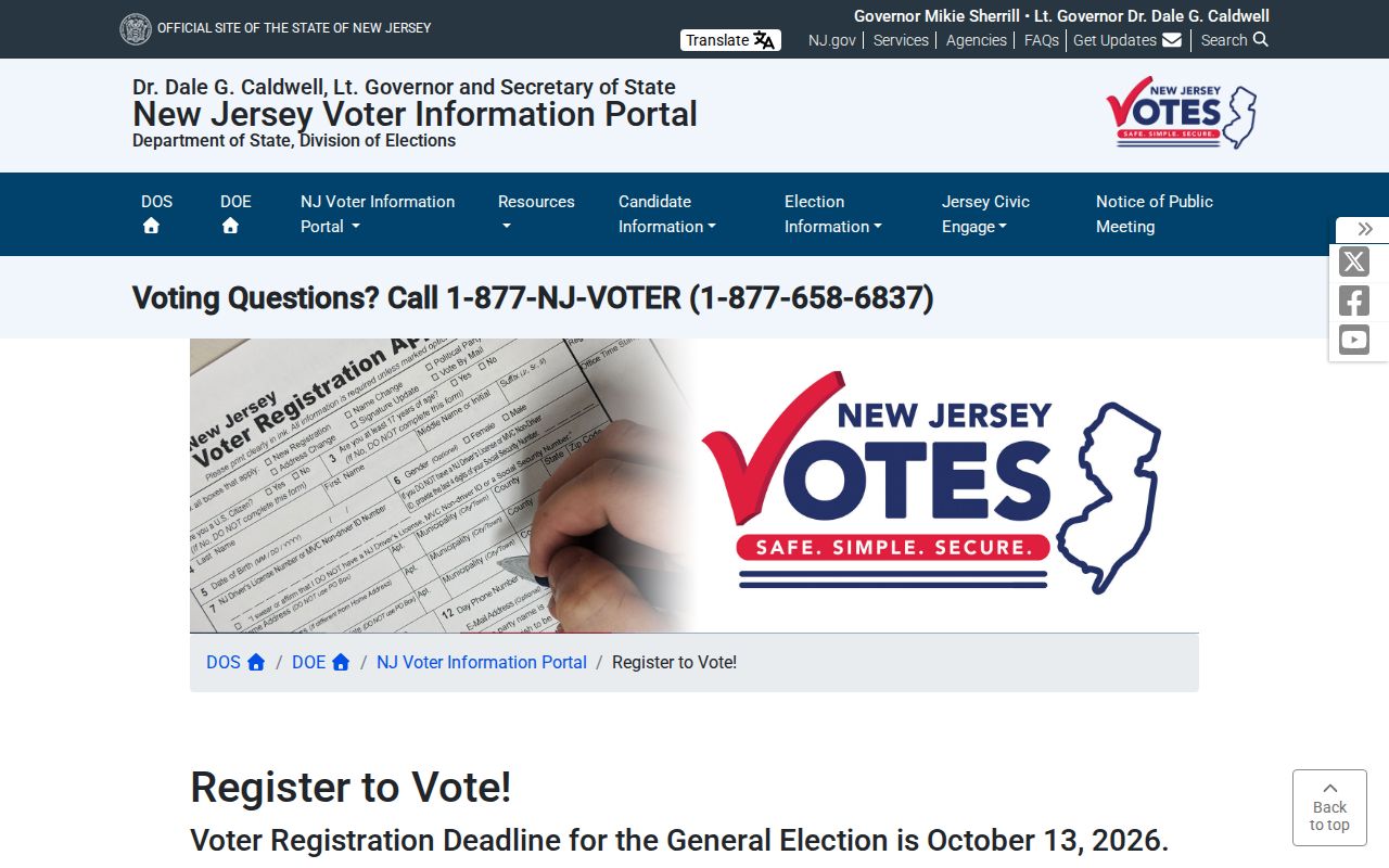
N.J.S.A. 19:31-39 supports regulated voter-list access and protects signatures, covered addresses, and other protected fields. Hamilton Township districts span Commissioner Districts 3 and 5, which is election geography, not an indication of a person's vote or preference. A registration entry does not establish that a person still lives at an address, and it never shows how the person voted.
Hamilton Township Neighbor Context Sources
Hamilton Township does not have a verified public roster of neighborhood associations, member households, or current association contacts in the research record. The Mays Landing Neighborhood Plan refers to the Mays Landing Merchants Association and the Historical Society in plan or subcommittee history, but that reference is community context rather than evidence of current activity or membership. Research institutions are more useful for checking a former place name, reading a plan, or locating historical material than for identifying present neighbors.
| Source or research service | Useful block context | Access and limitation |
|---|---|---|
| Mays Landing Neighborhood Plan | Historic district, facilities, former rail corridor, and neighborhood geography. | Planning context only, not an association roster. |
| Hamilton Historical Society | Local links, timeline, images, history makers, and former-neighborhood narratives. | Corroborate legal or parcel facts in government records. |
| Mays Landing Resource Center | Genealogy, Jerseyana, microfilm, newspapers, public computers, and reference help. | 40 Farragut Avenue, Mays Landing; 609-625-2776. |
| Atlantic County Historical Society Library | Maps, deeds, wills, school rolls, directories, newspapers, and family files. | 907 Shore Road, Somers Point; collections are not all online. |
These Hamilton Township sources make it possible to understand why an older Mays Landing, railroad, river, mill, courthouse, or schoolhouse reference appears near a present address. They do not convert that historical reference into a current-person claim. The Resource Center's history holdings, for example, are research aids, not proof of residence.
Hamilton Township Neighbor Sources Compared
Official Hamilton Township records and commercial neighbor-search categories serve different roles. The official source has a named custodian, a stated record type, and access limits that can be checked. A generic commercial category may combine old public material, but it can lack a clear record date, field definition, or correction path. Neither category should be treated as a verified present-household list. For a question tied to an address, the source that keeps the parcel, map, deed, or election record remains the place to verify it.
| Official record route | Generic commercial category | Practical difference |
|---|---|---|
| County GIS, assessor, Clerk, or election office | Compiled neighbor-search tool | The official route identifies the custodian, record type, and request path. |
| Dated parcel or recorded-instrument field | Combined profile or address association | Source dates and field meanings can be checked only at the original record. |
| Daniel's Law, ACP, and statutory limits | Category-specific removal process | Removing a compilation does not erase the government source record. |
Use the owner, mailing, parcel, and record dates exactly as the official result labels them. If a result seems wrong, take the correction question to the office that holds the record. The strongest answer often comes from a small set of dated official sources, not a larger undated collection.
Hamilton Township Property Alert
The Atlantic County Property Fraud Alert service is a defensive layer for Hamilton Township people monitoring a name or parcel. A subscription can match party name or parcel data and send a notification after a recording. It is not fraud prevention, title insurance, or proof that fraud occurred. If an alert arrives, compare the recording through the Clerk's official records and seek the appropriate official help for a suspected problem.
The Atlantic County Property Fraud Alert registration form is the official source for the account screen below.
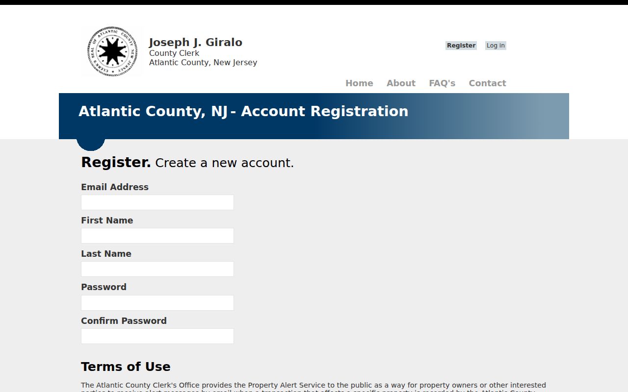
The form asks Hamilton Township users for email, name, password, confirmation, and agreement to terms. It shows why an alert is a notification tool, not a substitute for examining a recorded instrument or a current parcel record. Atlantic County's official guidance directs suspected fraud reports to the Atlantic County Prosecutor or New Jersey Attorney General.
Hamilton Township Neighbor Privacy
Hamilton Township neighbors have privacy protections even when some parcel or map data is public. Daniel's Law, N.J.S.A. 47:1B-1 and related provisions, can suppress protected information for covered current, former, and retired judicial officers, law-enforcement officers, prosecutors, their immediate households, and other covered people. The New Jersey Office of Information Privacy is the Daniel's Law route. A protected address should not be reconstructed from a mix of map, deed, or directory snippets.
The Address Confidentiality Program provides a legal substitute address and mail forwarding for Hamilton Township people facing eligible safety threats. It does not erase every already-public address. Motor-vehicle data, private delivery records, and protected court or vital records have their own restrictions. Respect the source's limits and refer correction or disclosure questions to the custodial office.
Lawful use. Use Hamilton Township neighbors research for personal, lawful property curiosity, civic context, family history, or record verification. Never use a source to stalk, watch, harass, intimidate, or harm anyone.